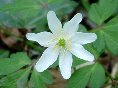
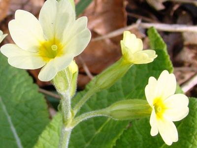
Hatchards Copse is a remnant of a once extensive woodland habitat that at one time belonged to the Fryer Estate.
Bordered to the west by the Moors river and the grassland of Fryer Field to the east, this small site is especially pleasant in spring with the first flush of new growth on the Hazel. It is well used by local people as a pleasant place to walk the circular route, which passes through hazel stands of differing ages.
| Nearest Town | West Moors |
|---|---|
| Look out for | Spring flowers such as Primrose and Dog's Mercury. Shrubs like Butcher's broom and Redcurrant. Nuthatch, Chiffchaff and Blackcap. |
| Habitats | Oak woodland with ancient woodland status with underlying Hazel copse bordered by wet meadows, grass fields and a number of hedgerows and ditches. |
| Site designations | None |
| Nearest bus stop | Station Road, Wilts and Dorset bus route |
| Nearest train station | Poole (11 miles) |
| Grid reference | SU 075 031 |
| Size | 5.5 hectares |
| Parking | Parking is available in the car park next to the Bowls Club |
| Accessibility | Unsurfaced, narrow paths |
| Facilities | Dog bins at main entrances |
| Owner | West Moors Parish Council |
| Managed by | West Moors Parish Council |
| How to get there | From West Moors village centre,follow Station Road north, and turn left onto Bond Avenue (also signposted Fryers Playing Fields). Turn left into car park. From Three-Legged Cross direction, follow signs for West Moors (B3072), and as you approach West Moors village, turn right onto Bond Avenue (also signposted Fryer's Playing Fields). Turn left into the car park. |
Greenspace Team East
Email: greenspaceseast@dorsetcouncil.gov.ukTel: 01425 483809
Full contact details


